Geographic Information System (GIS) mapping software allows businesses and public bodies to combine the power of maps with the power of big data to inform their decision making. GIS has been used to track everything from farming to pandemics. By placing data about human beings, behaviors, or physical objects over a map, it becomes clear how critical location is in determining future trends and helping to make more effective decisions.
The first example of geographical mapping being used was way before computers were involved. In the 1800s Dr. John Snow managed to identify the source of a cholera outbreak through spatial analysis.
“By talking to local residents, Snow identified the source of the outbreak as the contaminated public water pump on Broad Street. He did this by mapping the deaths from cholera and noted that they were mostly people whose nearest access to water was the Broad Street pump. His studies of the pattern of the disease were convincing enough to persuade the local council to disable the well pump by removing its handle.” – (Royal College of Surgeons of England, 2016)
These days, mapping data and information provides critical information, and knowledge, for sectors such as retail, healthcare, insurance, manufacturing, farming, and utilities. There are lots of ways to harness the potential of GIS and business mapping. GIS enables users to collect, interrogate, analyze, and display data.
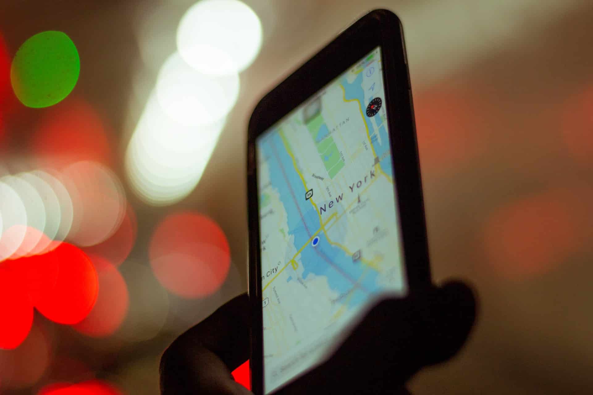
IMAGE: UNSPLASH
Types Of GIS Mapping
There are hundreds of ways mapping software is used to optimize decision making in both the long and short term. Some of the most common are:
- Geocoding – this allows users to use address data to analyze geographic distribution, for example, for marketing purposes. You can see where the highest density of customers are based and target campaigns.
- Significance of Structure – this is when data about physical structures are used to overlay other types of data like addresses. Want to know how many of your customers live near a river? This can help!
- Thematic Mapping – this allows you to view a map through a particular lens; whether that’s population density or even socio-economic factors.
- Spatial Querying – this can tell you where things are in relation to each other using the geometry of objects. It can tell you how near public transport links are to a supermarket or retailer.
- Overlay Operations – this is a useful way of combining different layers of data to create new information. For example, combining information about the weather and people who like to swim can tell you where’s best to build a new outdoor pool!
- Network Analysis – this is a little like using a GPS. Using complex mathematics, this system can calculate the quickest way around a route, considering traffic, distance, and speed limits.
- Drive-time Analysis – this builds on network analysis by giving drivers (perhaps on their way to drop off your takeaway!) accurate data about how long it will take to get to a destination, and help companies plan their drivers’ routes accordingly.
The ability of GIS mapping software to process complex problems in a way that even laypeople can use effectively continues to boost its popularity. As resources become scarcer and populations grow, the in-depth insights GIS can offer can make an enormous difference to the efficacy of both public and private investments; better information ultimately leads to better decision making.
If you are interested in even more business-related articles and information from us here at Bit Rebels, then we have a lot to choose from.
COMMENTS