Being one of the remote sensing instruments, satellite imagery can be used to track various processes and phenomena that cannot always be reflected on traditional maps. Among the advantages of space, images are the relevance of information, wide-coverage, the ability to compare information thanks to historical data availability, and high precision. For example, high resolution satellite images by EOSDA offer pictures with 3-5m resolution, allowing for detecting the slightest changes in vegetation cover, land use, and much more to enable fast and effective decision-making.
As satellite imagery narrates huge amounts of invaluable information that can be used by multiple industries, we’ve gathered the most interesting examples of Earth pictures catering to the needs of specific organizations and businesses.
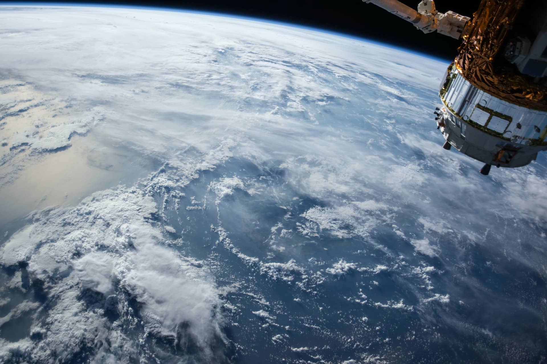
IMAGE: UNSPLASH
Food Producers
The main value satellites offer for food suppliers is field monitoring based on vegetation indices. Basically, satellite sensors collect data on the light the plants and soil reflect in different wavelengths of the electromagnetic spectrum.
For instance, the most famous vegetation index NDVI is calculated based on the difference in near-infrared light and visible red light the plants reflect. Healthy plants reflect more near-infrared light, and unhealthy plants with less chlorophyll reflect more visible red light. Applying different vegetation indices data to a satellite map allows for detecting the slightest changes in plant health throughout the growing season.
Overall, this enables remote and effective field state monitoring, timely detection of problem areas, optimization of inputs thanks to data-based decision-making, and data transparency within the whole crop cultivation span. Usually, such monitoring is performed via special agricultural software, designed specifically for farming business optimization. Besides, these platforms also may include weather data, which is of critical importance for food producers, enabling related threats detection and fieldwork planning based on historical and current weather conditions.
One of the platforms that provide such data and more is Crop Monitoring by EOSDA. The tool also offers field leaderboard features for smart fieldwork planning and a data manager feature for uploading field equipment data to visualize it on the map and carry out analysis of performed fieldwork. More so, the platform allows for shared access, which means stronger partnerships between parties, data transparency and trust in working with information, and improved communication between scouts and field owners.
All of this is critical for food-producing companies, agro-cooperatives, and farmers. For the companies that already have their own product for farm management, Crop Monitoring also offers API options for the lacking data integration. And for those who want to have their own product with their brand colors, logo, and more, Crop Monitoring offers a white label solution.
Insurance Companies
Due to climate change that causes more droughts and floods each year, farmers try to adapt to this new reality, including relying on crop insurance. But what if farmers commit crop insurance fraud? What if they caused yield losses themselves by managing their fields the wrong way? Satellite imagery analysis enables insurance companies to catch fraud, predict yields, determine field quality and productivity to make insurance decisions, evaluate risks, and more.
For example, precise vegetation data and field scouting allow for assessing fields before providing insurance and assessing the damage when getting a claim. Historical data on vegetation, weather, and soil moisture allows for modeling field quality and productivity to predict yield and manage payout risks smartly. Hail events validation allows for possible losses estimation and confirmation or denial of insurance cases.
Governments
Satellite images help governments to solve a number of pressing issues. First, it is transparent land monitoring. With satellite imagery and cadastral data, unregistered land can be effectively identified, rather than blindly submitting inspections based on inaccurate data.
Thus, the government gets a clear understanding of where and in what quantities certain crops are grown. This is important for proper investment in infrastructure: roads, railways, ports and processing points. To determine the construction site of an object, you need to understand where it will be most productive. Ultimately, maps on soil types, soil moisture, crop classification, or yield prediction created using satellite imagery provide access to different information needed when evaluating and planning effective land use.
Archaeology
Satellite archeology is a nascent field of archeology that uses high-resolution satellites with thermal and infrared capabilities to identify potential points of interest on the Earth at a depth of a meter or so. The infrared light used by these satellites has a longer wavelength than visible light and can penetrate the Earth’s surface. The images are then taken and processed by an archaeologist who specializes in satellite remote sensing to find any sub-body anomalies on the Earth’s surface.
Landscape features such as soil, vegetation, geology, and human-made structures of possible cultural interest have specific features that multispectral satellites can help identify. The satellites can then take a 3D image of the terrain to show if there are any artificial structures coming from the soil and vegetation that cannot be seen with the naked eye. Thanks to satellite monitoring, modern archeologists can predict the occurrence of dinosaur tracks and uncover ancient archaeological sites like the Mayans and ancient Egypt.
Military
In different forms, space military forces exist in all countries that can fly beyond the stratosphere. What they are called and what army departments they are subordinate to is not so important. Through these satellites, the military can track any movement on the planet: on land, in water, through the air. They provide reconnaissance, communications, navigation, and must protect the civilian population from threats from outer space and various space accidents. But their main task of military satellites is to track down a possible missile attack by another state.
Ecology
Analyzing satellite images, ecologists can obtain information on such issues as landscape fires, air pollution, forest degradation, pollution and drying up of water bodies, and climate change. For example, satellite images can help detect the smoke plume, determine the outbreaks, calculate the distance to settlements, and evaluate the dynamics of the spread of the fire.
As for forest degradation, they can also aid in forest fires, deforestation, waterlogging, pests, and disease detection.
COMMENTS