When a prototype built over a weekend suddenly becomes the clearest view of a live military operation, that is not merely a curiosity. It is an inflection point.
Worldview, a personal geospatial command center developed by a former Google product manager, stitched together publicly available feeds and agent-collected signals to replay what he calls Operation Epic Fury, the strikes on Iran and the ensuing responses. The result was a 4D, minute-by-minute reconstruction that combined satellite passes, commercial flight tracks, maritime AIS, and localized GPS interference on a single, navigable globe.
The real significance here is not that a weekend prototype can look like expensive enterprise systems. What actually determines whether this matters is the data fusion and the visualization.
When open feeds are correlated across time and space and presented as an interactive timeline, the sequence of actions becomes plain enough to interpret operational intent, second-order effects, and regional cascades in a way that single-source reports rarely deliver.
That insight changes how to think about transparency, journalism, and defense procurement. It is possible to assemble an operational picture without classified feeds, and the difference is increasingly a matter of software and access patterns rather than exclusive sensors. What becomes obvious when you look closer is that a large part of the intelligence value is unlocked by sequencing and making the information explorable in context.
The introduction of a tool like Worldview forces a rethink of who can observe, who can verify, and how quickly a public operational picture can form. The stakes are not just technical; they are editorial, legal, and ethical. The platform shows that timelines and replayability are now as consequential as raw resolution when it comes to answering operational questions in near real time.
How Worldview Pulled A Minute By Minute Reconstruction
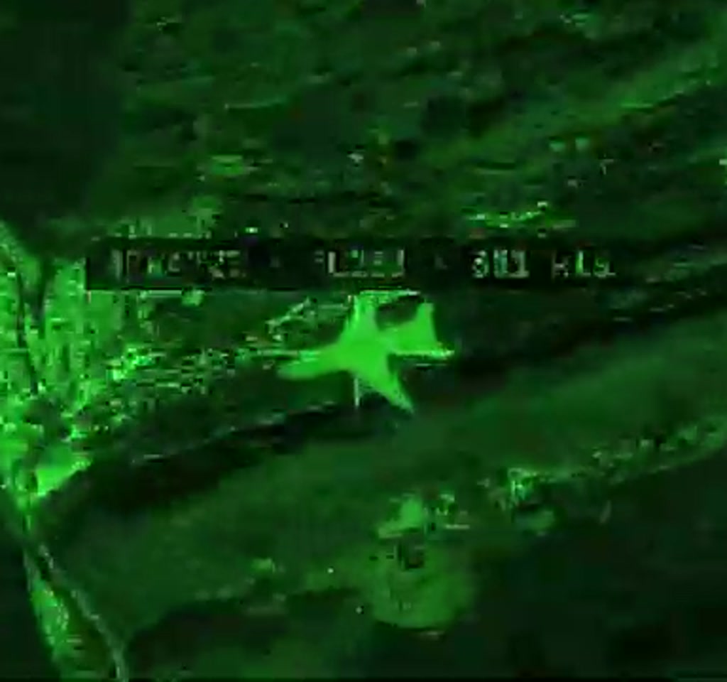
The creator loaded Worldview with multiple live layers, then pushed a swarm of agents to capture every visible signal before caches cleared. The system replayed events along a timeline so that satellites, aircraft, shipping, and jamming all aligned with the same clock. From that alignment, the order of operations emerges: which sensors imaged prestrike positions, which imaged poststrike damage, how flights reacted, and how maritime traffic reconfigured.
That approach shows how sequencing and temporal alignment create context. By replaying events against a single timeline, independent signals that would be ambiguous on their own become corroborative pieces of an operational story.
Replaying Timelines To Expose Sequence
Worldview synchronizes heterogeneous feeds so that before and after states are visible at identical coordinates. This synchronization lets analysts detect patterns of intent, immediate damage assessment, and follow-on movement within windows measured in minutes rather than days.
The Data Layers That Make A 4D Globe Tick
Worldview is built from distinct domains of open-source intelligence: satellite imagery, flight tracking, maritime AIS, and localized signals like GPS interference. Each layer has different cadence, coverage, and failure modes, and the juxtaposition of those differences is where new insight lives.
Satellites And Imaging
The projection of commercial and known military satellites over the target area offered the first cut of what could be seen from above. Synthetic aperture radar platforms provided cloud-penetrating imagery, optical constellations offered high-resolution snapshots, and classified signals are not required to see the pattern of which sensors focused on the same coordinates before and after a strike.
Two constraints to keep in mind. First, revisit cadence varies. A given commercial satellite may revisit a target in minutes or may not return for hours to days depending on orbit and constellation size. Second, tasking satellites for fresh imagery remains costly. Ordering new, targeted collections can often fall into a price window that ranges from the low thousands to the tens of thousands of dollars per collection, which limits continuous on-demand coverage for most independent projects.
Flights, Jamming, And Airspace
ADS-B and other flight tracking protocols mapped commercial and military air traffic. The timeline showed GPS interference appearing as red tiles, and that interference correlated tightly with sudden flight reroutes and the rapid declaration of no fly zones.
In practice, airspace closures and jamming propagate quickly. Commercial routes in the Gulf region, one of the busiest corridors globally, thinned out within a timeframe measured in hours. Aircraft entered holding patterns, then rerouted around newly enforced boundaries. That cascade effect makes airspace management a systemic constraint: one closed corridor forces rerouting decisions that ripple across neighboring countries and can transform dense traffic into near-zero in under a few hours.
The creator notes that a large share of commercial satellite business goes to government customers, which helps explain why many such passes are oriented toward areas of strategic interest.
Maritime AIS And Economic Ripples
Maritime AIS feeds showed how tankers and commercial vessels adjusted course or stood off during the operation. These shifts are not just tactical; they expose immediate economic and logistical consequences that unfold far from the strike point.
Constraints And Tradeoffs That Define What Worldview Can Do
No visualization can invent missing data. Worldview’s strengths depend on what is visible in public feeds and what historical trackers have recorded. Two practical tradeoffs matter for anyone considering this approach.
Data Gaps And Classified Feeds
First, classified sensors remain a real boundary. The system can reconstruct a detailed public picture, but it will miss point sensors and ephemeral signals that never surface in open feeds. That boundary is not binary; it is a sliding scale.
For many operational inferences the open picture is sufficient, but for some tactical questions the few percent of information locked behind classified systems is decisive.
Second, timestamp fidelity and provenance matter. Public feeds can be altered, delayed, or replayed. Correlation reduces risk of error, but analysts still have to treat some open signals as probabilistic rather than definitive.
Operational Limits And False Positives
Another constraint is ambiguity created by noisy indicators. GPS jamming can be intentional or accidental, and AIS ship signatures can be spoofed. The tradeoff here is simplicity versus editorial rigor.
A compelling visualization invites fast interpretation, but interpretation without conservative cross-checking raises the chance of false positives. In operational terms that means independent verification is often measured in hours to days, not minutes.
Cost, compute, and legal boundaries are practical limits too. High-frequency replay across many data layers requires substantial storage and compute resources. For an individual or small team, sustained real-time ingestion and replay for large regions will push into recurring infrastructure costs rather than a one-time hobby expense.
What The Reconstruction Actually Showed During Operation Epic Fury
The Worldview timeline displayed a sequence that readers rarely see in news cycles. Prior to the strike, multiple optical and SAR satellites were aligned over the same zones.
At zero hour, known spy satellites were passing overhead while GPS interference spiked locally. Minutes later, a different set of satellites reimaged the same coordinates, suggesting an immediate effort to capture damage assessment. Meanwhile, flights were rerouted, and several regional airspaces were quickly closed. Maritime traffic in the Strait of Hormuz thinned as tankers rerouted or stood off.
From an editorial standpoint, the detail that stands out is how the temporal ordering clarifies intent. Who images what and when, who reroutes, and where jamming appears are small signals that, when sequenced, tell an operational story more clearly than static snapshots.
- Satellites gave the before and after vantage points.
- Flight tracks and airspace closures revealed civilian impact and risk corridors.
- Maritime AIS showed the economic and logistical ripples in the Gulf.
Worldview Versus Alternatives
Comparisons matter when decision makers choose between fast, public reconstructions and traditional closed systems. Worldview is not a like-for-like replacement for enterprise or classified platforms, but it changes the baseline of what is observable without exclusive feeds.
Worldview Vs Classic Enterprise Systems
Enterprise systems often bundle dedicated sensors, secure data links, and formal verification pipelines. Worldview demonstrates that a lot of operational insight can be gained by fusing public feeds and improving visualization, but enterprise-grade security, guaranteed tasking, and end-to-end classified workflows remain distinct advantages for some missions.
Worldview Vs Classified Feeds
Classified feeds can fill gaps that open feeds miss, especially for fleeting tactical signals. Open reconstructions can approach many operational questions in near real time, however, and that narrowing gap forces a policy choice about when exclusivity is truly necessary.
When To Prefer Commercial Tasking Or Paid Collections
Paid tasking still matters when precision timing and guaranteed revisit are required. For journalistic reconstruction or initial situational awareness, opportunistic open feeds combined with rapid tasking can be sufficient. The choice depends on cost tolerance, required certainty, and the acceptable verification window.
Why This Matters For Journalism, Defense, And Public Awareness
There are three implications worth foregrounding. First, journalists can use fused timelines to reconstruct events with surgical clarity, improving accountability and public understanding. Second, defense acquisition will need to weigh software and visualization upgrades as highly as sensor buys.
Third, the public now has greater capacity to observe conflict dynamics, which has ethical and legal consequences about what to publish and how to contextualize it.
The creator has already seen interest from defense tech founders who argue that better visualization is a leap forward for decision-making. That claim highlights an industry tension. Governments will likely continue to prefer classified integrations for certain missions, but civilian accessible systems change the baseline of situational awareness.
When the sequence of actions is visible on the same clock and the same globe, the fog of war becomes a matter of data completeness rather than mystique. That means verification, governance, and responsible disclosure become the urgent questions that follow capability.
Who This Is For And Who This Is Not For
Who This Is For: Journalists, independent researchers, defense tech founders exploring visualization, civic oversight groups, and small teams who need rapid, contextual reconstructions from public feeds. These users benefit from low marginal cost per insight and fast iterative exploration.
Who This Is Not For: Missions that require guaranteed classified intelligence, operations where a single missing sensor is decisive, or use cases that cannot tolerate the probabilistic nature of open signals. Large-scale, sustained real-time coverage for wide regions may also demand enterprise resources beyond what a weekend project can sustain.
FAQ
What Is Worldview And What Does It Do?
Worldview is a personal geospatial command center that fused public feeds to create a synchronized, minute-by-minute 4D reconstruction of events around Operation Epic Fury, combining satellites, flight tracks, maritime AIS, and GPS interference layers.
How Does Worldview Reconstruct Events From Public Feeds?
It ingests multiple live layers and agent-collected signals, aligns them on a single timeline, and replays the combined data so temporal ordering and spatial correlation reveal the sequence of actions.
Is The Reconstruction As Accurate As Classified Intelligence?
Not always. Open reconstructions can answer many operational questions in near real time, but classified sensors capture some ephemeral signals and point collections that open feeds miss. Accuracy depends on data completeness and cross-correlation.
Can Worldview Replace Enterprise Geospatial Platforms?
Worldview demonstrates overlapping capability in visualization and timeline fusion, but enterprise systems still offer secure integrations, guaranteed sensor tasking, and formal verification pipelines that matter for certain missions.
How Should Journalists Verify Findings From Worldview?
Verification requires cross-checking across independent feeds, seeking corroboration from additional timestamps and sources, and allowing verification windows that can extend from hours to days, depending on the signal and region.
Does Using Worldview Raise Legal Or Ethical Concerns?
Yes. Publicly reconstructing operational timelines touches on privacy, operational security, and the risk of amplifying misinformation. Responsible disclosure and editorial framing are necessary to avoid harm.
What Are The Main Cost Drivers For Running A System Like Worldview?
Recurring costs include paid satellite tasking, storage and compute for high-frequency replay, and subscriptions to commercial feeds. For sustained real-time coverage over large areas these recurring costs can be substantial.
Can Independent Systems Scale Revisit Cadence And Reduce Verification Latency?
Possibly, but scaling depends on investment, access to paid collections, and improved automation of verification. The timeline for that scaling remains an open question tied to funding, norms, and technical work.
COMMENTS