Billions of people use apps like Google Maps or Waze daily to get around unknown locations and new places in their hometowns. Indeed, humanity has been using maps for millennia, but they have never been so advanced or accessible.
Not many people know how these apps work, let alone the complex technology behind them, such as geocoding.
In short, geocoding is the technology that makes apps like the ones mentioned above possible. Knowing street names isn’t enough for localisation, as they constantly change. That’s why companies like egon.com turn such addresses into unmistakable geographical coordinates using advanced computing sciences.
However, computing sciences are constantly changing, too. So, new tools and techniques keep emerging. Learn more about the noticeable developments in geocoding and what lies ahead.
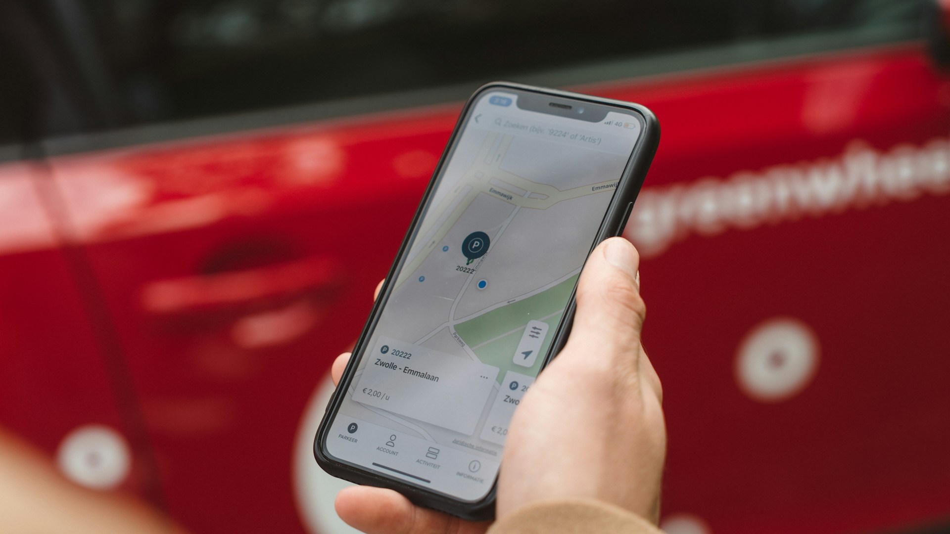
IMAGE: UNSPLASH
Cloud Computing
Geocoding is essential for several industries, including transportation, logistics, real estate, and retail. In such contexts, location information and routes must be readily available based on real-time updates. Cloud computing allows developers to create apps that can be accessed by millions of customers worldwide, anytime.
Cloud computing also supports geotagging services vital for businesses investing in social media campaigns. In this case, companies use geotagging to address their target audience in multiple locations.
Unsurprisingly, the cloud computing industry is growing rapidly, and it’s expected to cross the USD 910 billion mark by the end of this year.
Machine Learning For Enhanced Precision
Finding the right coordinates for buildings and streets is one of the biggest challenges of geocoding. After all, the names of buildings and places can be ambiguous, often repeating across different locations. Worse still, the same name can have countless spellings in neighbouring regions.
Thankfully, machine learning algorithms are gradually weeding out such mistakes and confusions, constantly improving mapping systems. Advanced ML software can distinguish subtle changes in language and local spelling norms and provide extremely accurate geocoding and geotagging.
Data Integration
Information comes from several sources and in the most varied formats in the geocoding industry: social media feeds, satellite imagery, governmental records, and so on. It’s up to developers to come up with smart systems that can make sense of it all.
Advanced geocoding and geobatching software operate with standardised formats like KML (Keyhole Markup Language).
This format is compatible with most platforms, including Foursquare and Google Maps. Data integration and interoperability is a major trend in geocoding services, as it can provide much richer content and experience to users.
Advanced Analytic Features
Digital technologies produce more data today than ever, which is too much for humans to handle alone; enter AI. Developers use powerful AI-backed software to harvest valuable information and insights from big data.
Moreover, they can suggest the most efficient routes, time and money-wise, comparing distances and traffic expectations based on real-time data and previous statistics. AI tools also help standardise existing information, convert coordinates, and weed out inaccuracies like outdated names and invalid data.
3D, VR, And AR
Innovative technologies like 3D graphics, virtual reality, and augmented reality are often linked to gaming. However, several industries have been doing serious business with them, including geocoding.
Such technologies can provide new layers of interactivity for companies and customers, allowing them to interact with geospatial data seamlessly, whether they’re there or not.
The Extra Mile
Geocoding has evolved beyond simple coordinates, becoming the backbone of modern navigation and location-based services. With advancements in cloud computing, machine learning, and data integration, the technology is more precise and versatile than ever. Emerging tools like AI analytics and immersive 3D mapping further push the boundaries, accelerating innovation.
Indeed, the future of geospatial technology is just beginning to unfold.

COMMENTS