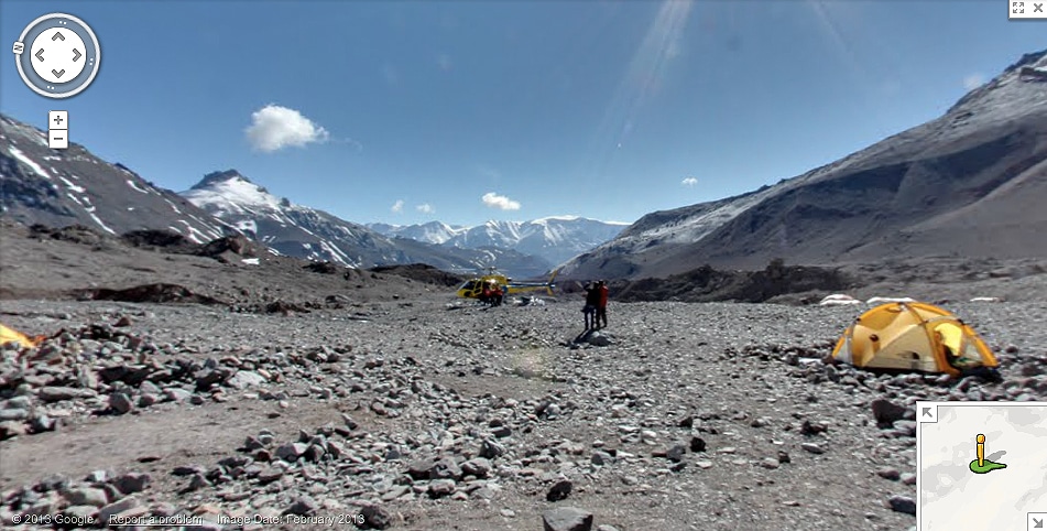
As of today, people who enjoy seeing the most magnificent sights in the world will squeal with delight even more since Google just added Street View images of some of the most well known mountains in the world to Google Maps. This includes Mount Everest, Kilimanjaro, Elbrus and Aconcagua. These are obviously the highest mountains in the world, and now you can experience them in all their glory. Of course, it won’t be the same as being there in person, but it’s definitely a worthy second option.
As always, the detail is incredible. For example, you’ll be able to stand on top of these mountains and see what the actual climbers who are there would see (sans the dangers). And, of course, you can view all of this stunning imagery from your mobile device using the iPhone or Android app.
When you view the Mount Everest Base Camp, you’ll see all the explorers there as they make their plans to reach the top. The team at Google Maps made sure to capture the complete views, in full 360 degrees. They took 3 shots each for north, south, east and west. Later, they put them all together with software to create the rich imagery you can view now.
If you live in a place with no snow (like I do), now you can do a quick search for Mount Kilimanjaro and experience all the snow you would ever want. From the Base Camp on Mount Everest, you will be able to see the snow on the Himalayas and even the Khumbu glacier. As Google Maps continues to expand and get better and better, we are able to travel the world and see places we’d never normally be able to see, and all from inside our own homes or offices. This is truly magnificent!
View Mount Everest, Kilimanjaro & More Like Never Before
(Click Image To Enlarge)
Via: [Google Blog]

COMMENTS